3D Aerial Roof Measurements
3D aerial roof measurements use drone imagery, photogrammetry, and/or LiDAR to create accurate three-dimensional models of roofs. These models provide precise roof dimensions, slopes, pitch, and material takeoffs—helping contractors, insurers, builders, and property managers make faster, safer, and more informed decisions without manual rooftop measurements.
What Are 3D Aerial Roof Measurements?
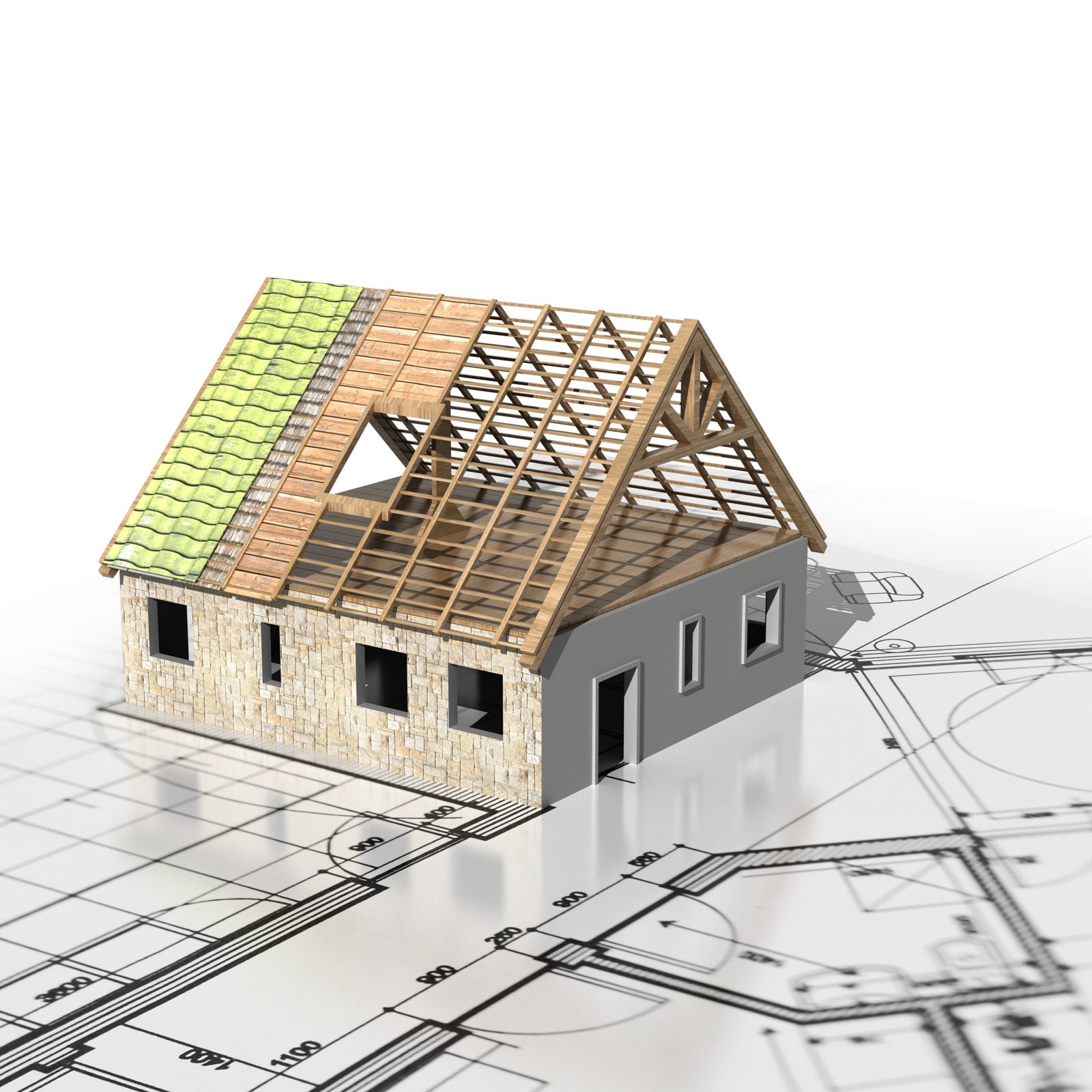
3D aerial roof measurements convert aerial photos or point-cloud data into a detailed 3D model (orthomosaic and/or mesh) of the roof surface. Unlike traditional 2D measurements, 3D models capture height, slope, and complex roof geometry—enabling more accurate area calculations, rake/valley lengths, and cut lists for materials.
How 3D Aerial Roof Measurements Work
- Flight & Data Capture: A drone flies a planned route capturing overlapping high-resolution images or LiDAR scans across the roof.
- Photogrammetry / Processing: Software stitches overlapping images into an orthomosaic and generates a dense point cloud; LiDAR can be used where vegetation or accuracy requirements demand it.
- 3D Model Generation: The point cloud is converted into a 3D mesh or digital surface model (DSM) to represent roof geometry and heights.
- Measurement Extraction: Algorithms extract roof planes, calculate areas, slopes, pitches, and produce material estimates and annotated diagrams.
- Report Delivery: Clients receive downloadable reports (PDF, CSV), 3D views, and file exports (OBJ, LAS, KML) for integration with estimating software.
Key Benefits
- Higher Accuracy: 3D models reduce measurement error on complex roofs, especially where multiple pitches, dormers, or irregular shapes are present.
- Visual Clarity: Interactive 3D views make it easier to spot problem areas, plan flashings, and understand roof geometry.
- Safety: No need for workers to climb roofs for routine measurement and inspection tasks.
- Time Savings: Quicker takeoffs, fewer site visits, and faster proposal generation.
- Better Estimating: Exact slope adjustments and linear measurements reduce material waste and change orders.
- Integration: Exportable files and APIs allow direct import into estimating and project-management tools.
Who Uses 3D Aerial Roof Measurements?
- Roofing Contractors: For precise takeoffs, material lists, and bid accuracy.
- Insurance Adjusters: To validate damage, measure affected areas, and support claims with 3D evidence.
- Architects & Builders: For renovation planning and accurate roof-as-built documentation.
- Property Managers & Portfolio Owners: For regular condition assessments and capital planning across many properties.
Common Deliverables
- 3D mesh or digital surface model (DSM)
- Orthomosaic (high-resolution stitched image)
- Roof plane breakdowns with area and slope
- Material takeoffs (shingles, underlayment, flashing lengths)
- Annotated PDF reports and CSV exports
- Export formats: OBJ, LAS, PLY, KML for GIS or CAD workflows
Accuracy & Limitations
Accuracy varies by hardware and method—high-res photogrammetry and LiDAR can achieve very tight tolerances when flown correctly. Accuracy depends on flight altitude, image overlap, camera calibration, presence of ground control points (GCPs), and environmental conditions.
Limitations:
- Weather (wind, rain, fog) can prevent safe flights or reduce image quality.
- Vegetation or nearby obstructions may obscure roof surfaces—LiDAR helps but can be more costly.
- Regulatory restrictions (no-fly zones, line-of-sight rules) may limit operations in some areas.
- Extremely complex interior roof structures (e.g., attics) cannot be modeled from above.
Choosing the Right Provider
When selecting a 3D aerial roof measurement provider, evaluate:
- Data Sources: Photogrammetry vs. LiDAR vs. hybrid — choose based on accuracy needs and site conditions.
- Turnaround Time: Typical delivery ranges from a few hours to a couple of days.
- File Formats & Integration: Ensure exports match your estimating/CAD tools (CSV, OBJ, LAS, KML).
- Sample Reports: Ask for sample 3D models and reports from similar properties.
- Compliance & Safety: Confirm operator certifications, insurance, and adherence to local drone regulations.
- Pricing Model: Per-roof, per-acre, subscription, or enterprise licensing—pick what aligns with your volume.
Use Cases & Applications
- Accurate material takeoffs for bids and purchase orders
- Storm damage assessment with 3D evidence for claims
- Pre-construction planning and retrofit design
- Portfolio roof condition surveys and lifecycle planning
Frequently Asked Questions (FAQ)
Q: How precise are 3D aerial measurements?
A: Precision depends on flight specs and processing—common photogrammetry workflows deliver sub-foot horizontal accuracy, and with ground control points (GCPs) or RTK/PPK-enabled drones, accuracy can reach a few centimeters.
Q: Do I need to be on-site for the drone flight?
A: Some providers handle flights end-to-end; others require brief on-site access for permission, safety checks, or placing GCPs. Remote or managed services are available for many locations.
Q: Can 3D models be used for permitting or CAD?
A: Yes—exports in OBJ, LAS, or KML formats can be imported into CAD, GIS, or BIM tools for further design and permitting workflows.
Conclusion
3D aerial roof measurements bring the precision of modern mapping to roofing and construction workflows. They reduce risk, improve estimating accuracy, and provide visual, exportable models that integrate with your existing software. For contractors, insurers, and property owners focused on accuracy and efficiency, 3D aerial measurement is a high-value solution.
Get a Sample 3D Roof Model
Interested in trying a sample 3D roof model? Contact us with the property address or parcel ID for a demo and sample deliverables.
Email: support@skyroofmeasure.com | Phone: +1 (202) 853-666