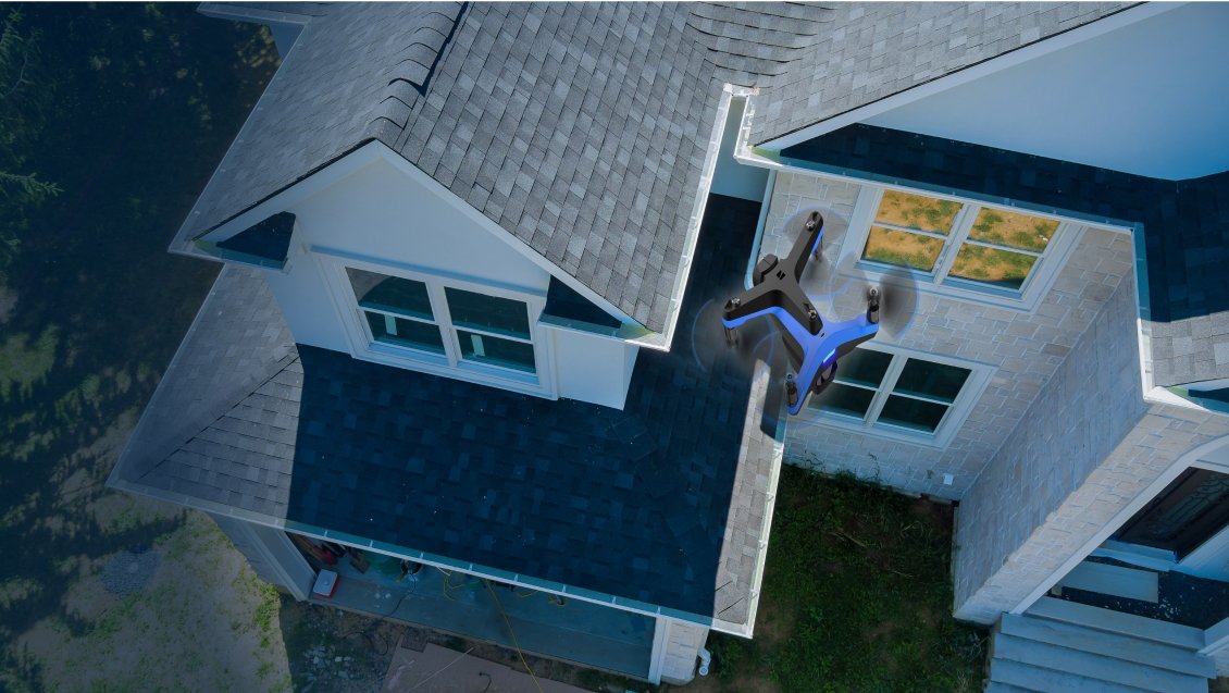
Drone Mapping for Roofing
Drone mapping is transforming the roofing industry by providing fast, safe, and highly accurate roof data. Instead of manual measurements and dangerous rooftop inspections, roofing professionals now rely on drones equipped with advanced cameras and mapping software. These tools deliver precise measurements, 3D models, and detailed reports in a fraction of the time.
What Is Drone Mapping for Roofing?
Drone mapping involves using unmanned aerial vehicles (UAVs) to capture high-resolution images of a roof. Specialized software then processes these images into detailed maps, models, and measurement reports. The data is used by contractors, builders, and insurers to improve estimates, inspections, and project planning.
How Drone Mapping Works
- Flight Planning: The drone follows a pre-set flight path to capture roof images.
- Image Capture: High-resolution photos and videos are recorded from multiple angles.
- Data Processing: Software stitches the images together to create accurate roof maps and 3D models.
- Report Generation: Measurements, diagrams, and material estimates are generated for contractors and insurers.
Benefits of Drone Mapping for Roofing
- Accuracy: Provides highly precise roof dimensions, slopes, and material estimates.
- Safety: Reduces the need for workers to climb hazardous roofs.
- Speed: Delivers reports within hours instead of days.
- Cost Savings: Minimizes labor, travel, and rework expenses.
- Professional Reports: Detailed diagrams and 3D models improve client confidence.
Who Uses Drone Mapping?
- Roofing Contractors: To prepare accurate and competitive estimates.
- Builders & Developers: For project planning and material forecasting.
- Insurance Companies: To verify damage claims and reduce fraud.
- Property Managers: For regular maintenance and inspection reports.
Why Choose Drone Mapping for Your Roofing Business?
Drone mapping is more than just a tool—it’s a competitive advantage. By adopting aerial mapping technology, roofing contractors can save time, win more bids, and build stronger client trust. Detailed, professional reports also reduce disputes and improve overall project efficiency.
Conclusion
Drone mapping is revolutionizing roofing by combining advanced imaging technology with powerful software. Contractors, insurers, and property managers benefit from faster, safer, and more accurate roof data. Whether it’s for estimates, inspections, or large-scale planning, drone mapping ensures roofing projects are completed with precision and confidence.
Get Started with Drone Mapping
Interested in exploring drone mapping for your roofing projects? Contact us to request a demo or sample report.
Email: support@skyroofmeasure.com | Phone: +1 (202) 853-666